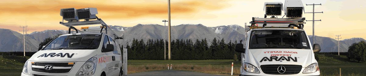
Automatic Road Analyser (LRMS)
Automatic Road Analyser (ARAN) LRMS is one of the most advanced platforms available for collecting pavement condition and road asset data, providing you with a safe, accurate, reliable and cost effective understanding of the condition of your infrastructure.
The ARAN system adds new technology to the Australian market with advancements on the currently available systems, particularly in the area of locational accuracy and repeatability. The system is a modular solution that can be reconfigured to meet the specific data collection needs of users.
Features
HIGH DEFINITION VIDEO CAPTURE
The ARAN is fitted with HDTV cameras which capture Right-of-Way images allowing you to virtually view the road from the comfort and safety of your office. The ARAN platform offers a variety of video logging options to suit every need and budget. Correlate images with road condition data and geometry information to get the complete picture for efficient asset management and decision making.
PAVEMENT DISTRESSES
High definition TV quality cameras enable better resolution when images are post rated in the safety of an office environment. Surface distresses such as Cracking, Potholes, Patching, Ravelling, etc, are processed to any specification in Roadware’s Vision, an all-in-one desktop data processing and analysis suite that can export to any PMS or AMS system.
LASER PROFILOMETRY
The ARAN is fitted with high-precision laser roughness and rutting measurement systems. Dual scanning lasers accurately measure transverse profiles up to 4m wide. To help our clients effectively meet their pavement management goals, our road profile data delivery includes: – Longitudinal profile and roughness (IRI, NRM and HATI) – Transverse profile and rut depth – Macrotexture depth, Mean Profile Depth (MPD) and Estimated Texture Depth (ETD).
COMPLETE INVENTORY DATA
The ARAN system enables complete roadside inventories extracted from specially calibrated digital videolog images. Inventories contain type, location, condition, measurements, unique identifiers and more. The data output can be formatted for subsequent import into a GIS or road asset management software environment.


Subscribe to our newsletter.
Sign up with your email address to receive news and updates.